Water is coming into the building right now
Call us and tell us where the water is showing up. We will get a crew on the roof to stop the leak and protect the space below.

Commercial Roofing Services
Use drone roof imaging in Rochester to document large or hard-to-access commercial roofs, then pair images with ground checks and a mapped condition report.
Call us and tell us where the water is showing up. We will get a crew on the roof to stop the leak and protect the space below.
We walk the roof, photograph what we find and give you a written scope with repair options before any work starts.
Rochester, MN
From above, a wide roof can look uniform while a curb corner or perimeter transition tells a different story. Drone images help record broad areas and difficult sightlines, giving the asset manager a visual reference for the next inspection. They do not confirm adhesion, moisture below the membrane or the strength of a seam. We pair imagery with a roof plan and hands-on review where safe access allows, then label the findings by section and detail.
Rochester's comprehensive plan identifies larger-footprint manufacturing and job-intensive industrial uses; Mayo Clinic's support-campus plan maps warehouses, inventory and technology facilities in the campus area. For a large property, aerial coverage can help orient the inspection and note visible ponding traces, debris, open edges or equipment clusters. Those observations still need ground confirmation before repair scope is set. Our report keeps the image, roof location, date and next action together instead of asking the owner to interpret an unlabeled photo set.
Send the Rochester address, roof plan, access contact and the question the images should answer. We will confirm coverage limits and pair visible findings with hands-on review where needed.
Before flight, we confirm the address, roof boundaries, access restrictions and the question the images should answer. We divide coverage into recognizable sections and capture views that show each area in context, followed by closer images of visible details. The flight plan also accounts for equipment, roof edges, people and site operations. If weather or site conditions limit a view, we record the gap rather than implying full coverage.
City planning materials place the Rochester Technology Campus redevelopment area between 41st Street NW, US Highway 52 and Valleyhigh Drive NW. That context can help identify the correct property area, but it does not describe any particular roof’s condition. The facility contact must confirm the building and access boundary. The same method applies to a Mayo Clinic support-campus inspection: name the building, mark the covered roof sections and keep adjacent structures outside the record unless they were inspected.
Aerial images can document visible membrane discoloration, debris, standing water, apparent damage, equipment layout and conditions near the perimeter. A zoomed view can help compare a location with earlier photographs if the angle and conditions are similar. The image alone cannot establish that insulation is wet, a seam is loose, a fastener has backed out or a flashing detail is watertight. We describe only what can be seen and mark any suspected concern for hands-on checking.
Where the image points to an area worth closer review, we inspect the membrane, seam lap, curb, drain or edge detail directly when access is safe. A moisture map or core cut may answer a question that an aerial view cannot. A hands-on roof inspection can connect those details to the broader assembly, while a moisture survey is considered when its results could change the repair or replacement boundary. The report distinguishes those methods instead of treating every image as a diagnostic result.
For a portfolio, consistent image labels can make change easier to spot. We record the property, roof section, capture date and camera viewpoint where available, then compare visible changes with the earlier record. A new dark area or reflective surface is an observation, not a diagnosis. Weather, image angle and surface conditions can alter appearance, so we identify when a comparison is not reliable and request a closer look if the decision depends on it.
The local 1991-2020 winter record puts Rochester’s seasonal snowfall normal at 46.3 inches, chiefly from December through March. Images collected before or after winter service can help document visible accumulation or cleared routes, but they do not measure snow load or confirm conditions under the membrane. At the Airport Business Park, aerial work is scheduled with property authorization and current site requirements. A condition report can retain the imagery with the limitations and follow-up items stated.
We review the imagery against a roof plan, identify visible questions and organize any ground visit around those points. The next step may be a seam check, drain inspection, curb review or limited moisture test. We do not price a repair from an image when the material type or extent is unclear. If the view shows a clear opening or displaced component, the site visit still confirms attachment, compatible materials and the repair boundary before permanent work begins.
For a warehouse on Mayo Clinic's support campus, the roof map should distinguish the building, section and equipment areas so each image matches the right work order. We can use the same sequence at a Rochester Technology Campus property or an airport facility, but each site needs its own permission and access plan. Link each image to a specific roof question, then attach the field finding and repair photograph to the same record. That gives the asset manager a traceable path from aerial view to approved scope.
The handoff lists the roof sections photographed, dates, notable visible conditions, areas not captured and recommendations for ground review. Images are labeled so a facilities team can return to the same place without relying on a vague description such as “north roof.” If the site plan does not match current conditions, we note that mismatch and request an updated plan before assigning the image to a building or section.
Send the Rochester address, roof plan, access contact and inspection question. Tell us if the request concerns a leak, replacement decision, seasonal comparison or portfolio baseline. We will confirm which portions can be photographed and what requires hands-on access. The final report should make clear where an image helped, where it could not answer the question and what action will resolve the remaining uncertainty.
Other services, systems and buildings that often come up alongside this work in Rochester.
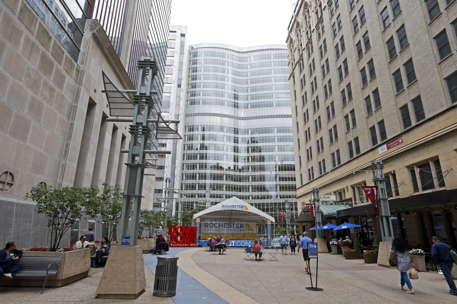
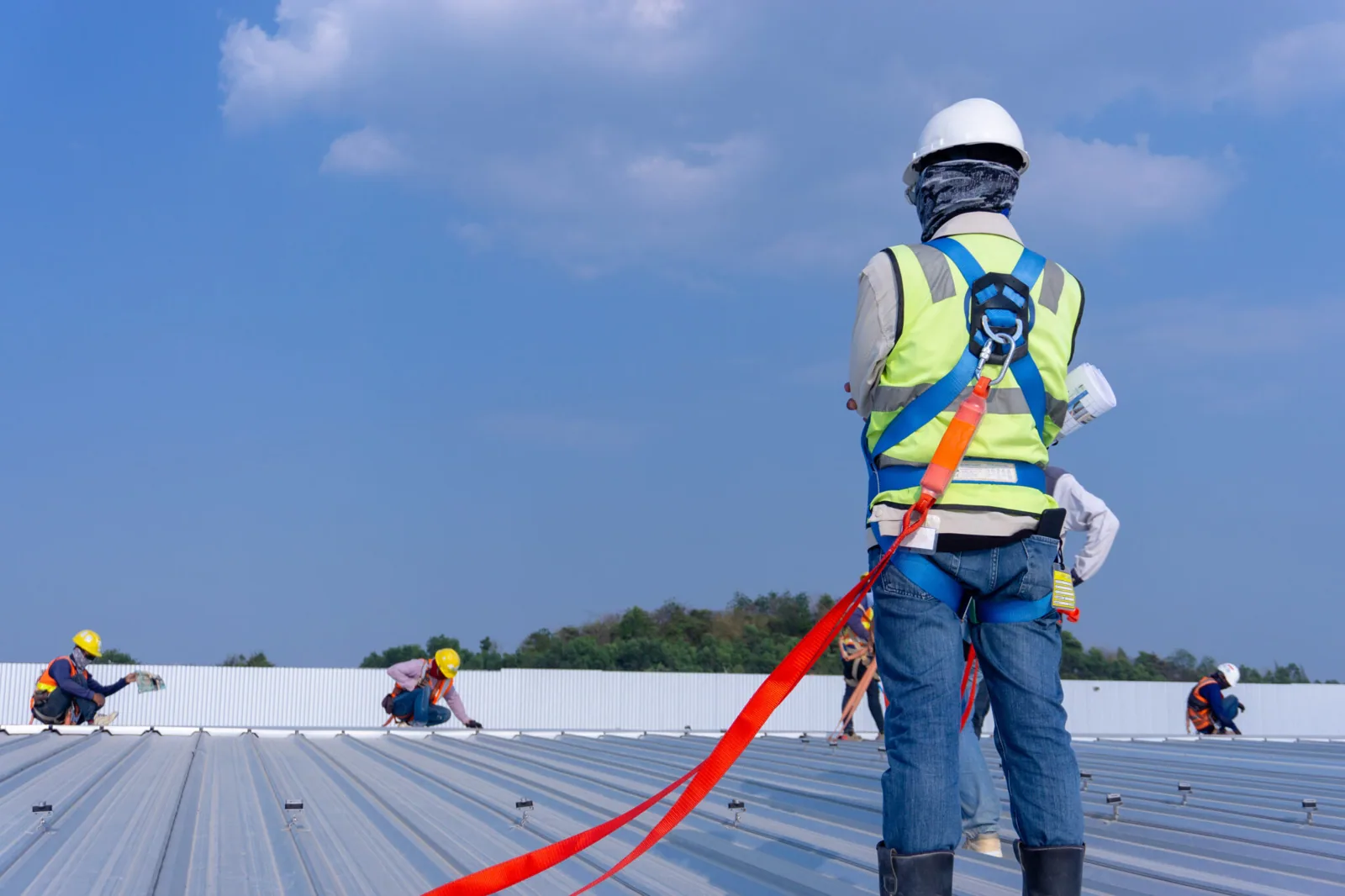
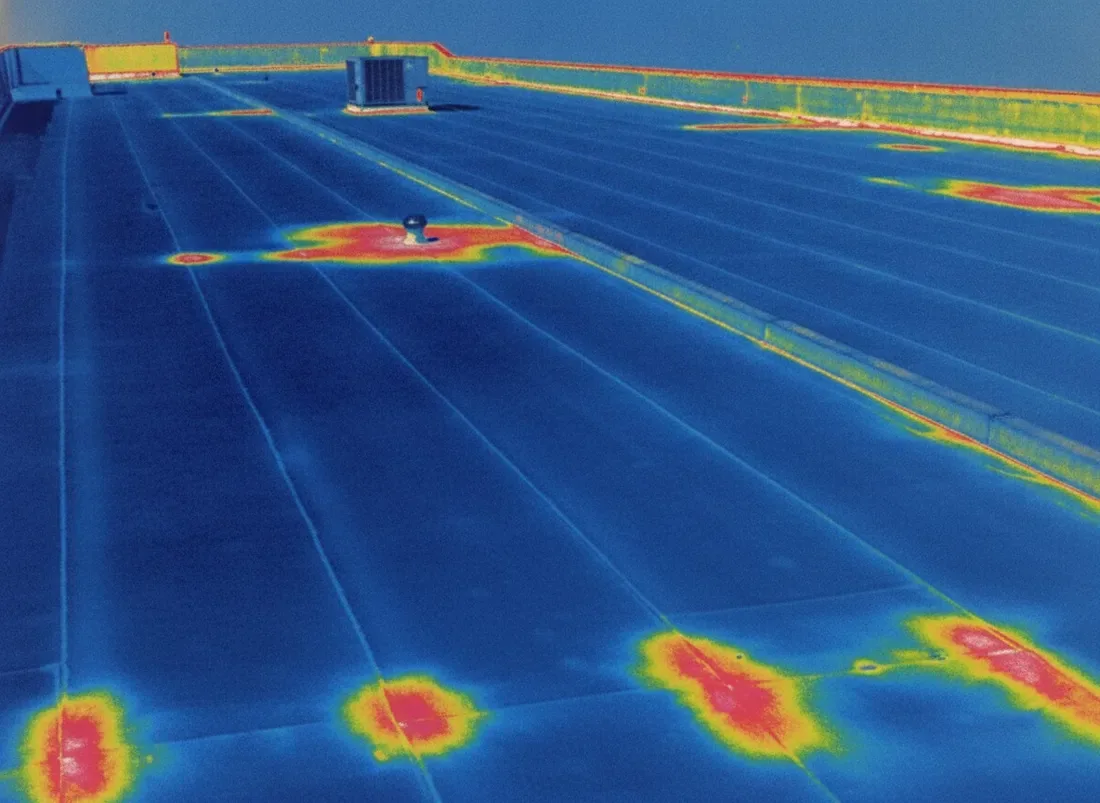
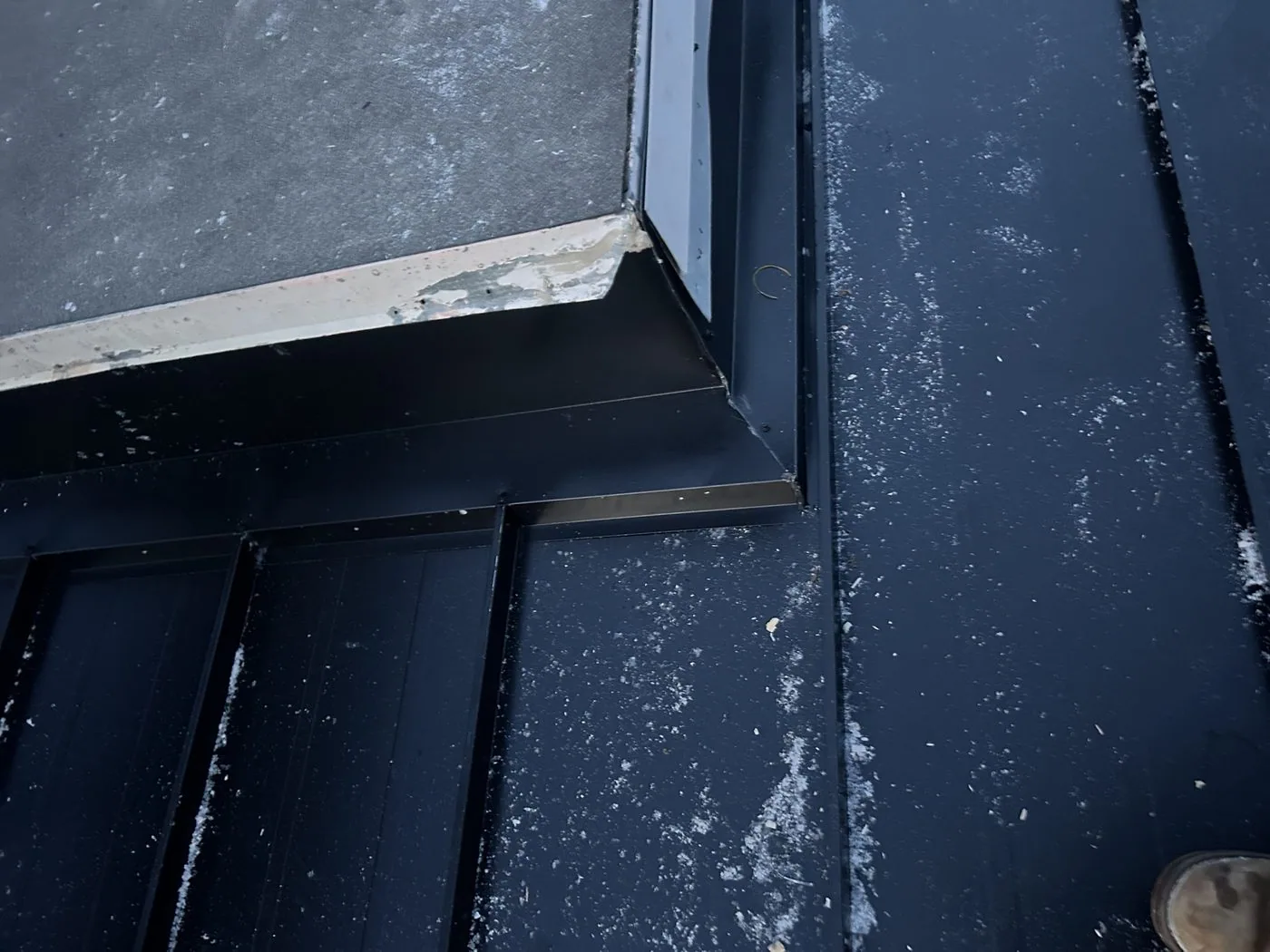
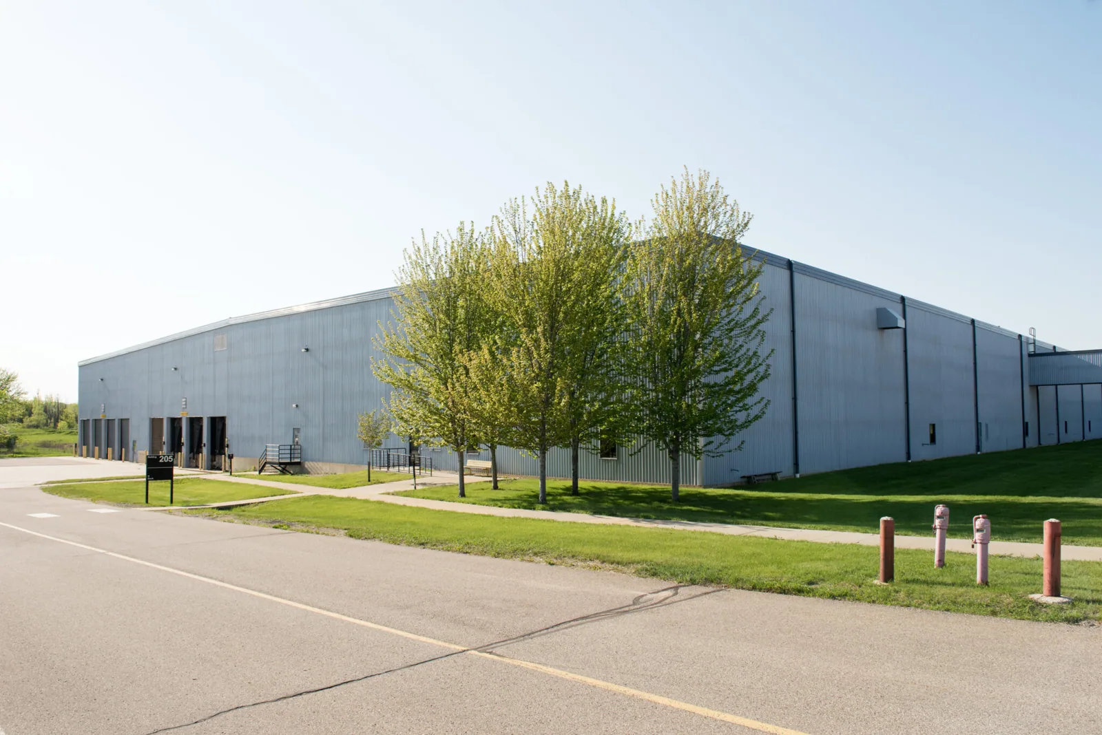
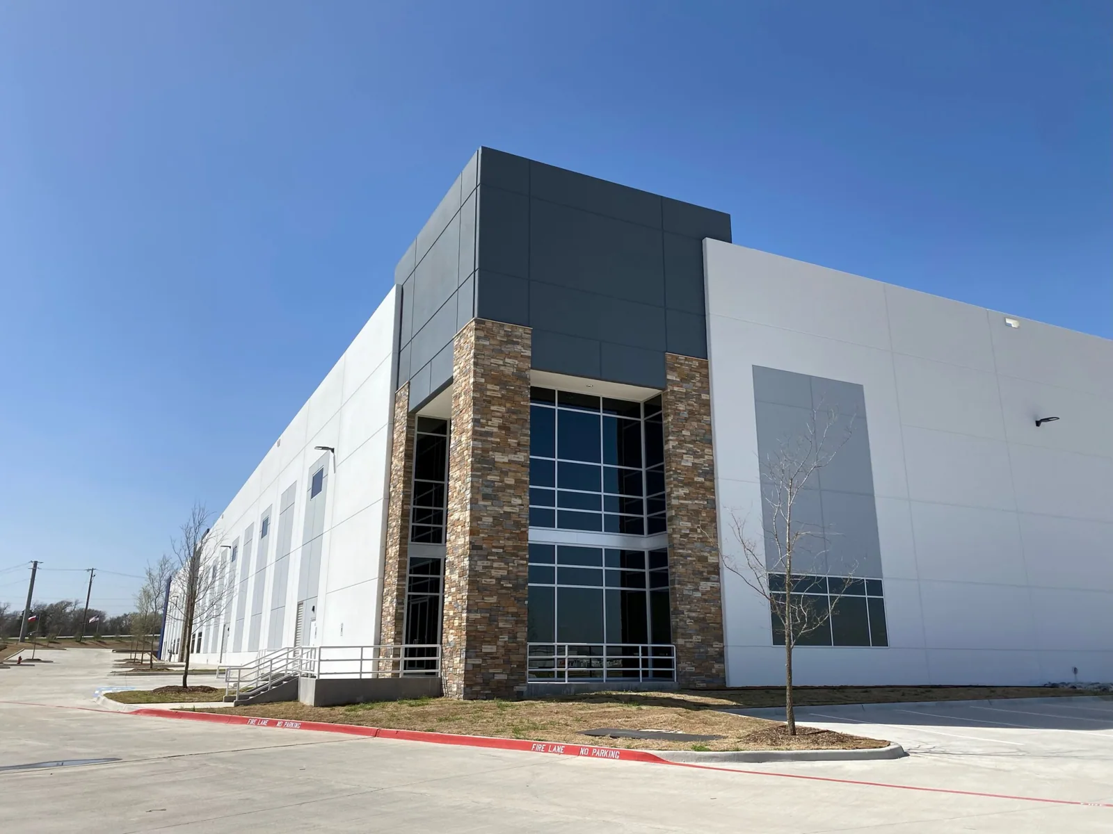
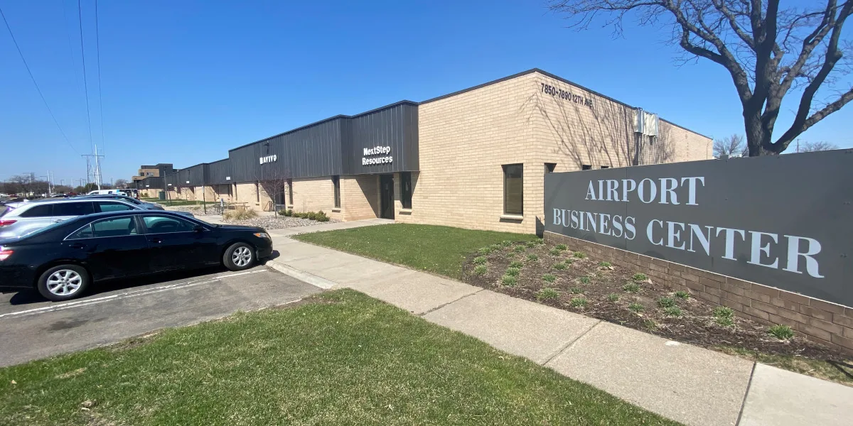

From distribution centers to clinics and schools, we roof the buildings Rochester depends on.
Drone images can show visible conditions and help direct a closer inspection, but they cannot confirm water below a membrane or prove which detail is leaking. We match the images to the interior report and inspect likely seams, curbs, penetrations and drains on foot where safe. If testing could change scope, we identify the specific test and location.
Images may show visible debris, apparent ponding, displaced components, equipment layout or surface changes. They do not establish adhesion, membrane thickness, insulation moisture or watertightness. We label visible observations and identify what needs hands-on review before describing a repair as confirmed.
Yes, when the property, roof sections, camera angles and capture conditions are comparable. We label the dates and explain any limits caused by different viewpoints, snow cover or surface conditions. A visual change becomes a test or inspection question when the repair decision depends on its cause.
We coordinate with the airport or property manager and follow applicable site and flight requirements before scheduling aerial work. At Rochester International Airport or the Airport Business Park, we confirm authorization and operating constraints with the responsible contact. We do not assume access from the property name alone.